Storm Alert – September 25, 2024 – Tropical Storm Helene
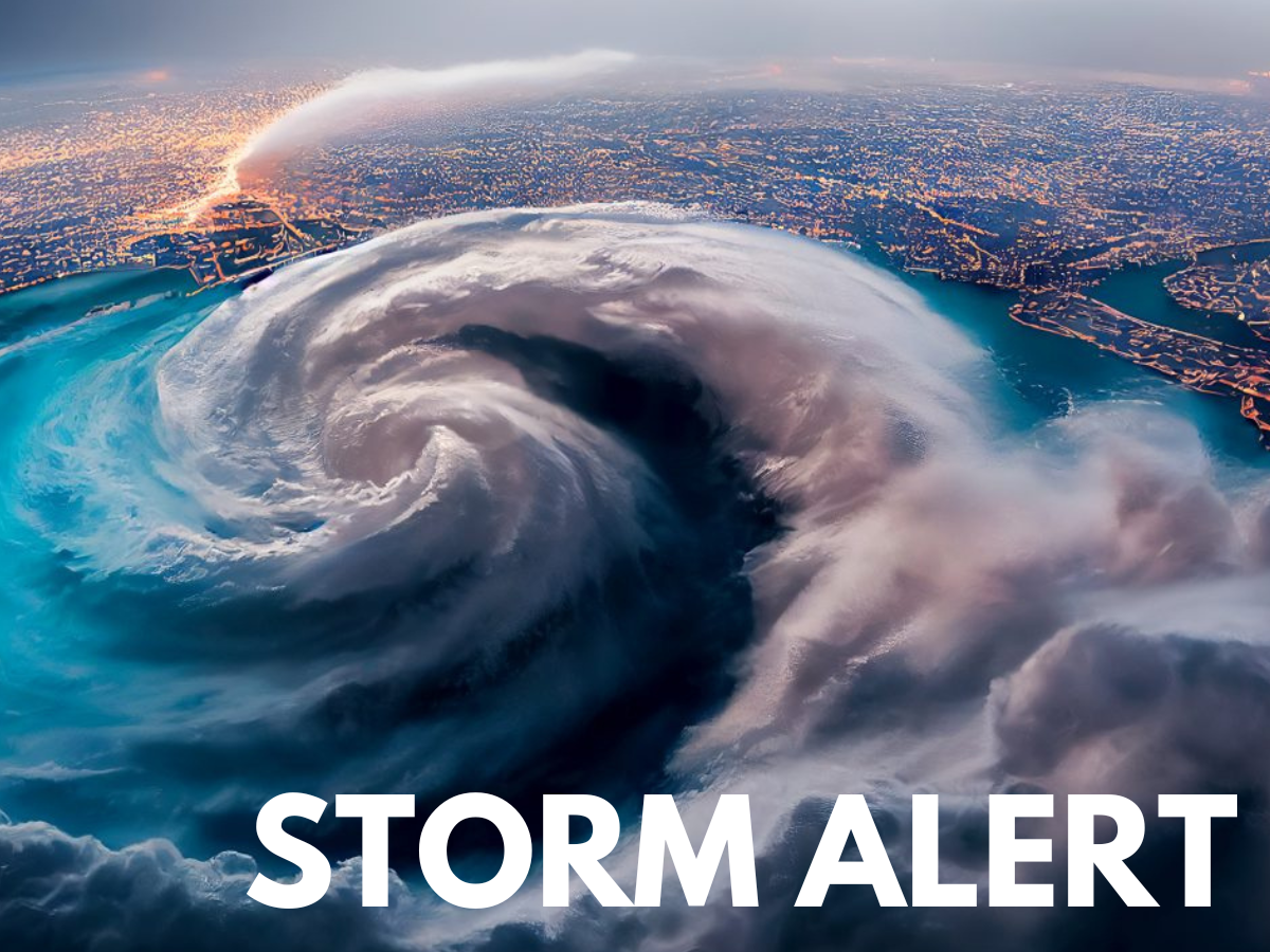
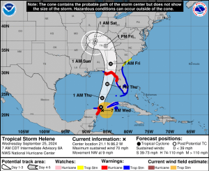
Tropical Storm Helene is rapidly intensifying and is forecast to make landfall on Big Bend coast of Florida as a major hurricane by Thursday night. This storm is expected to bring life-threatening storm surge, damaging winds, and heavy rain to the region, with impacts being felt far beyond the coastline. As of Wednesday morning, Helene is centered near Mexico’s Yucatan Peninsula, with maximum sustained winds of 70 mph.
This path reduces the risk to the oil-producing regions in the central Gulf of Mexico, according to meteorologists. The Gulf region accounts for 15% of U.S. oil production and 2% of its natural gas production. Despite the storm’s forecasted path, offshore producers have taken precautionary measures, shutting in 16% of U.S. Gulf of Mexico oil production and 11% of natural gas output. This amounts to around 284,000 barrels of crude oil per day and 208 million cubic feet of natural gas per day. In addition, four platforms have been evacuated, and two rigs have been moved out of the storm’s path, according to the offshore regulator.
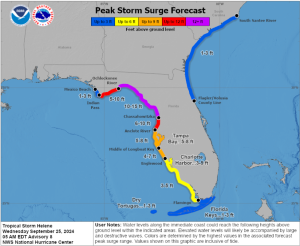
Heavy rain and strong winds have already begun to impact parts of the Yucatan Peninsula and western Cuba. A hurricane warning has been issued for Florida’s Big Bend area, extending into southwest Georgia, including the city of Tallahassee. Additionally, storm surge warnings cover coastal areas from Indian Pass to Flamingo, including Tampa Bay and Charlotte Harbor. Beyond Florida, the storm will move inland through Georgia, Alabama, and the Carolinas, continuing to bring strong winds, flooding rains, and the possibility of tornadoes into Friday.
Storm surge remains one of the most dangerous aspects of this storm, with water levels potentially reaching over 10 feet above ground in some areas, particularly in Florida’s Big Bend and Tampa Bay regions. The surge could easily surpass records set by previous storms. Alongside the surge, hurricane-force winds will affect both coastal and inland areas. Northern Florida and southern Georgia are likely to experience downed trees, power outages, and structural damage due to the storm’s strong winds.
Mansfield has been proactive in anticipation of this storm intensifying and has actively worked to top off customers’ tanks in the potentially affected areas. In light of the potential threats from this storm, Mansfield is moving the state of Florida to Code Orange and requesting 48 hours for new deliveries. Georgia and Alabama will remain on a 24-hour call-in status; however, same-day loads will not be accommodated. We will continue to monitor market conditions and keep customers alerted as the situation progresses.


This article is part of Alerts
Tagged:
MARKET CONDITION REPORT - DISCLAIMER
The information contained herein is derived from sources believed to be reliable; however, this information is not guaranteed as to its accuracy or completeness. Furthermore, no responsibility is assumed for use of this material and no express or implied warranties or guarantees are made. This material and any view or comment expressed herein are provided for informational purposes only and should not be construed in any way as an inducement or recommendation to buy or sell products, commodity futures or options contracts.


